Vehicle permit
Every vehicle needs its own K’gari vehicle access permit for the dates it is on the island.
Book a permit ↗Fraser Island October 4WD adventure – Waddy Point campground.
Every vehicle needs its own K’gari vehicle access permit for the dates it is on the island.
Book a permit ↗Manta Ray barges run from Inskip Point to Hook Point. Book ahead for the school-holiday long weekend.
Book Manta Ray ↗Steve is confirming final numbers before dividing the group camping cost. QPWS camping fees are charged per person.
Cost to follow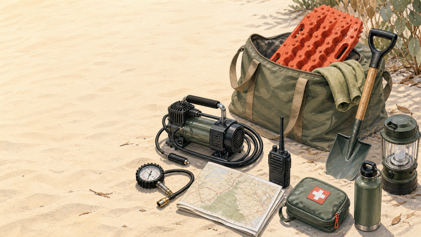 Planning visual · GPT Image
Tick these off as you prepare. Each family’s name and ticks stay only on the phone or browser being used—nothing is shared publicly.
Every vehicle should be ready before the convoy leaves the beach access point.
Steve’s Everest and Yin’s Prado will carry recovery equipment including straps/ropes. That supports the group; it does not replace each vehicle’s recovery points and tyre-management gear.
K’gari map ↗These are shopping categories, not required brands. Check compatibility with your vehicle and get recovery advice or training before using straps or other recovery equipment.
Independent K’gari / Inskip driving overview. Conditions and access change—always follow current QPWS advice and signs on the island.
Family vehicles, camp gear, supplies and trip details.
Open group checklist →Family checklists ↗Make offline before trip →
Tides: high 11:03 am · low 5:33 pm · sunset about 5:47 pm
Best option is the first 6:00 am barge. For a relaxed arrival, stay Saturday night at Wongai/Eurong, then drive north to Waddy early Sunday.
Tides: low 8:59 am · high 3:53 pm
Live OpenStreetMap tiles show the Rainbow Beach → Inskip → Hook Point → Waddy corridor. Use the route link for current navigation; the ferry and eastern beach legs still depend on bookings, tides, signs and conditions.
Open live driving route ↗Open OSM route ↗QPWS places Waddy about 100 km north of Hook Point. Allow 3–5+ hours wheels-on-island for a family convoy, depending on tide, sand, traffic and stops. A perfect-condition run can be quicker, but is not the plan.
The beach is quickest when firm, but drive to the conditions and follow the signed speed limits: up to 80 km/h on beach, 30 km/h inland, 40 km/h in pedestrian areas.
QPWS driving safety ↗Tides below are the Bureau of Meteorology’s Waddy Point (K’gari) predictions for 1–5 October 2026 (AEST, UTC+10). Use the beach roughly two hours either side of low tide, but only in daylight and with time to be off the beach before dusk. These are planning bounds—not a promise that the sand, surf or access will be safe.
| Date | Daylight | All low tides | Daylight tide window | Planning use |
|---|---|---|---|---|
| Thu 1 Oct | 5:27 am–5:46 pm | 4:00 am · 5:33 pm | 5:27–6:00 am · 3:33–5:15 pm | Arrival uses the Hook Point inland road; do not turn the late beach window into a northbound arrival plan. |
| Fri 2 Oct | 5:26 am–5:46 pm | 4:41 am · 7:04 pm | 5:26–6:41 am; no practical evening window | Do not schedule beach driving from 5 pm onward: the evening low is after sunset. Keep Friday local/inland or use the early morning window. |
| Sat 3 Oct | 5:25 am–5:47 pm | 5:41 am · 8:47 pm | 5:25–7:41 am; evening low is after dark | Early beach leg only; the evening low is not a usable return or arrival window. |
| Sun 4 Oct | 5:24 am–5:47 pm | 7:15 am · 10:02 pm | 5:24–9:15 am; evening low is after dark | Wongai/Eurong to Waddy should use the morning beach window, with inland alternatives if conditions change. |
| Mon 5 Oct | 5:23 am–5:47 pm | 8:59 am · 10:56 pm | 6:59–10:59 am; evening low is after dark | Return south in the morning; leave Waddy early enough for the beach leg and ferry queue. |
BOM Waddy Point tide table ↗BOM tide tables ↗Sunrise/sunset calculator ↗Park alerts ↗
Settle in, Waddy Point headland and Champagne Pools. Treat Friday evening as an inland/local option—the 7:04 pm low is after sunset.
An early-start, tide-dependent option for experienced, well-prepared vehicles. Check conditions before committing and do not rely on the after-dark low.
Central Station, Wanggoolba Creek and Boorangoora (Lake McKenzie), with the morning beach leg planned around the 7:15 am low.

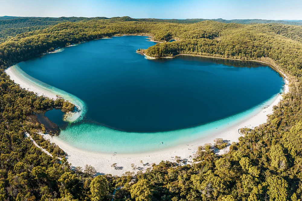

A formal, dingo-fenced camping area in coastal woodland near Waddy Point headland. Steve has the group area booked for four nights.
Keep children close, never feed wongari, secure all food and rubbish, and do not run. Follow ranger directions and keep the gate closed behind you.
QPWS safety advice ↗The beach widens and narrows using the real Waddy Point tide times for 1–5 October. Avoid the wash, give wongari and people fishing plenty of space, and watch for oncoming 4WDs as the run gets harder.
On a phone, touch and drag the 4WD to steer. The buttons and ← → keys still work too. Each level has a fixed speed. Real driving must follow QPWS tides, signs and conditions.
Loading scores…
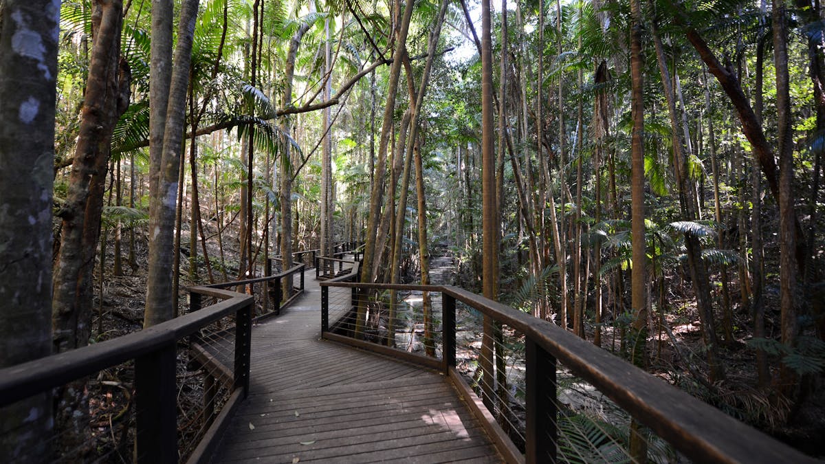
K’gari is the traditional home of the Butchulla people. The island’s cultural places and archaeological remains link thousands of years of living knowledge and tradition to the present.
K’gari is one of the rare places where tall rainforest grows on coastal dunes. Its evolving dune, lake, soil and forest systems are central to the island’s World Heritage significance.
At 123 km long, K’gari is the world’s largest sand island. It was World Heritage listed in 1992. Lake Boomanjin, coloured by natural tannins, is the world’s largest perched lake.
About K’gari ↗Beach driving is best within about two hours either side of…
Who are the Traditional Custodians of K’gari?
Which is the world’s largest perched lake?
Choose an answer to start.
Use the clues below to find the six trip words. Type a word, then tap Find.
Start with clue 1.
Steve has a spare Wongai booking. It is a fenced area just south of Eurong, but has no facilities—bring a portable toilet. See Wongai details.
Short, curated answers about tides, ferries, permits, vehicles, water, camp facilities, wongari and Orchid Beach. It works offline after the guide has loaded once.
Ask a question or choose a topic.